

On June 18th, I decided early-on during the morning to chase after missing two of the biggest tornado days of 2014 in Nebraska in hopes of some redemption. I left Peoria, IL by 8:30am with a target along I-90 in South Dakota. After hours and hours driving west on I-80 and north on I-29 I found myself on I-90 by mid-afternoon near Sioux Falls, SD. This area featured extreme instability with 6,000J/kg of CAPE, 0-6km shear near 30kts, 0-3km SRH at 300m2/s2, a supercell composite of 20, the significant tornado parameter near 2, and a moist boundary-layer with dew points near 72°F along a warm front. The real question on my mind was how strong the cap was and further more would a glancing blow from a shortwave trough be able to break the cap in this environment. No doubt this area featured a tornadic environment however! By 6:00pm, I was sitting along I-90 in the town of Kimball, SD waiting patiently. Convection was already on-going in central South Dakota to my north. My thought was to wait till the tail-end storm would tap the extreme instability to its south and become surface-based. Shortly after 6:00pm, kaboom! This convection to my north began to morph into a supercell right on cue! I headed north on SD Rt. 45 to get a view of this intensifying discrete supercell. I stopped a couple times along this highway before the intersection of SD Rt. 34. A tornado was quickly reported to my northwest, but this supercell was already beginning to cycle forming a new circulation to its south. As I was photographing this supercell a new storm developed along the southern flank and also began to rotate to my southwest. I was sandwiched between two dueling circulations at this point along this stretch of highway. Once the RFD got a little too close for comfort I headed east on SD Rt. 34 and witnessed at least two tornadoes along this highway to my south. The first was a rain-wrapped tornado that didn't last too long and also a stovepipe tornado as well. I then waited for this cyclic supercell to cycle once again heading south on SD. Rt 11 where I stopped and photographed the southern flank with powerful updrafts feeding into this supercell. This supercell wasn't done quite yet! I would later keep up and head north and then east along SD Rt. 34 where I witnessed a multi-vortex tornado as I got closer and then photographed another tornado near Alpena, SD. I watched this tornado stay on the ground for over 30-minutes. Once that tornado occluded and sunset was near I headed south on SD Rt. 37 and called it a night at a cheap Super 8 in Mitchell, SD. I've added structure shots of this cyclic supercell and photos of the tornadoes as well below:

First-view of the supercell along SD Rt. 45 as it had already produced its first tornado to the northwest...

A wide-angle shot!

Closer-view...

A new circulation forming along this supercell's southern flank!

"The cone of silence"

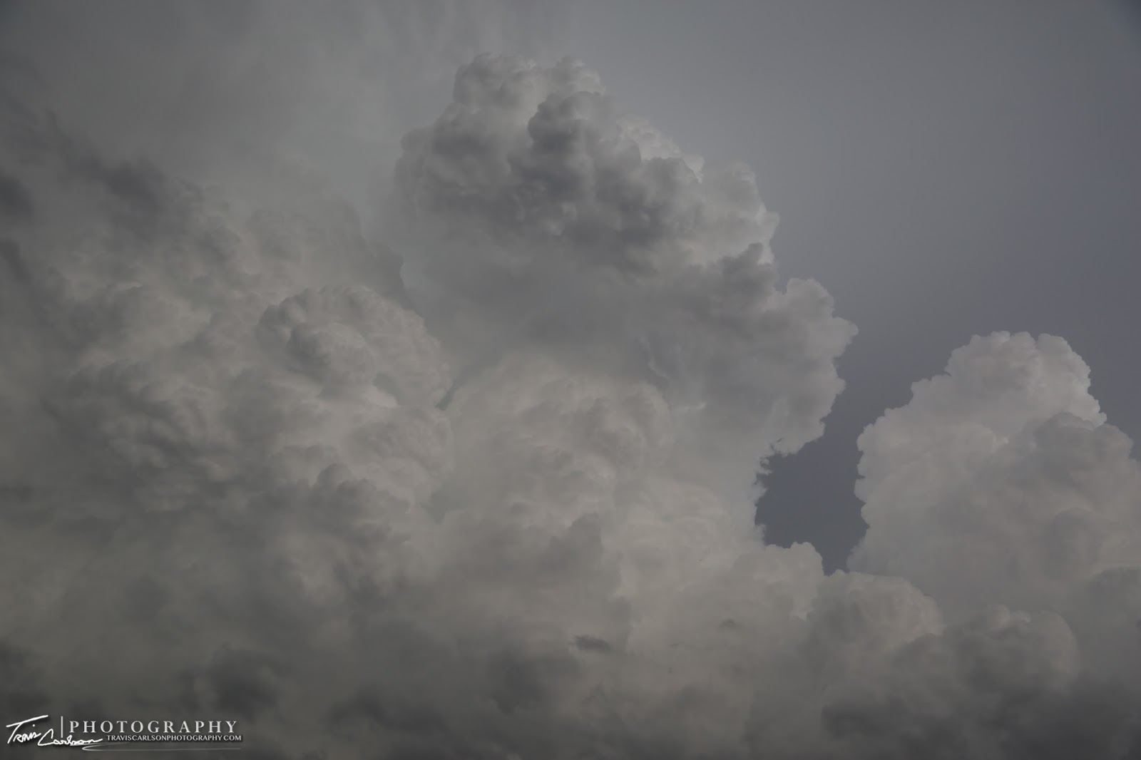
One of my favorite structure shots early-on!

Bout to get the RFD!

A spinning mesocyclone to my northwest!

A developing tornado?

It was really hard to tell if this did end up touching down since I was repositioning along SD. Rt 34...

I pull over once again along SD. Rt 34 to witness tornadogenesis!

Rain-wrapped tornado kicking up dust in this South Dakota farm field!

Closer-view...

Tornado #2, I witness a few minutes later!

A "wet" RFD and the tornado!

A beautiful stovepipe tornado churning along the South Dakota landscape!

I head south on SD Rt. 11 and find this new circulation forming as the other circulation had weakened...

Good structure!

Circulation getting closer...

Closer-view...

Circulation nearly moving overhead at this point...

"Into the storm"

Gust front from this supercell's southern flank moving overhead!

The southern flank of the supercell with some rock-hard updrafts feeding into the storm!

Dominator 3 heading into the new circulation along SD Rt. 11...

I really wanted it to tornado again at this point for photography-purposes, but that would come later...
Intense updrafts feeding off the extreme instability to the south of this supercell!

Getting closer and closer...

Another shot of the supercell's flanking line...

"Damn it! It's moving away!" Sorry, couldn't resist a Twister movie-quote!

Tornado #3 near Alpena, SD

Closer-view...

"Spin"

A wide-angle shot!

This tornado was on the ground for nearly 40 minutes!

One of my favorites!

"Roping out"

Wide-angle shot as the tornado begins the occlusion-phase!

Closer-view...

The last tornado this supercell produces on this evening and this tornado would later be rated a EF-4 seen here

Since I photographed the tornadoes from behind the storm I also photographed some amazing mammatus as well!

Closer-view...

Mammatus signifying the end of a chase day!
I ended up photographing three tornadoes on this chase day in South Dakota. This day featured my first South Dakota tornado and the first time I witnessed at least three tornadoes on one particular chase day. This cyclic supercell was quite a storm! Storm reports via the Storm Prediction Center can be found here. Here's also a news story documenting the tornadoes in this area here. I'll be chasing more over the summer months so stay tuned for my posts.